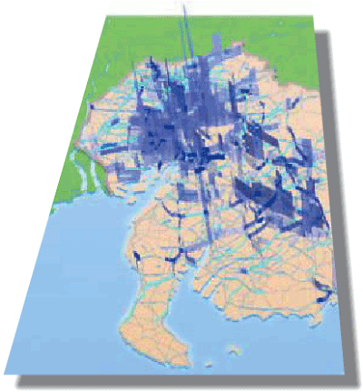
Information Technology is also drawn upon to heighten the official service in accountability for road administration. All citizens, for example, are able to access information about the roadwork effectiveness on congestion and so on. The information shows lost time in terms of monetary worth (the congestion cost losses) in three dimensions on a map at a glance, using data calculated from the probe car.
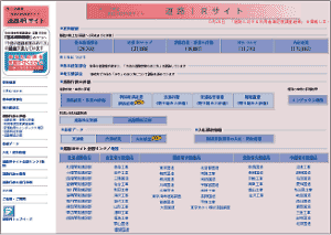
The Ministry opened the 'road administration evaluation site' (Road IR Site, by name) in October 2001, and it has been serving as the dedicated administration evaluation site. A 3-D map of congestion losses is available at the Road IR Site. For example, the 3-D map of Nagoya metropolitan shows the location of serious congestion at a glance. On this score, a demanding roadwork section viewed from users obviously indicates a high priority in terms of road administration.
Top page of Road IR site

The 3-D map of congestion losses for Nagoya metropolitan

 Utilization of IT to provide easy-to-understand information
 Utilization of IT to provide easy-to-understand information

