
Sasago Tunnel Ceiling Collapse on the Chuo Expressway (PDF)
The Maintenance of National Road Network in Japan (PDF)
Maintenance
New technologies and “InfraDoctor” (Infrastructure Doctor) Shutoko Engineering Company’s Activities
InfraDoctor is an innovative system, providing support to road structure maintenance through GIS (Geographical Information System) and 3D point group data. This can help achieve labor savings and advancing/streamlining inspection, repair and design work in the infrastructure maintenance. InfraDoctor has 3 main features:
I. Basic features for GIS and 3D point group data
Advancing of road space examination feature and labor savings through use of 3D point group data
InfraDoctor provides an integrated management of 3D point group data and movies from laser scanner. With a replaying feature 360-degree movie and 3D dimension measurement feature, this allows operators to quickly understand the situation on site, realizing labor savings in infrastructure management.
InfraDoctor displays 3D point group data and 360-degree movie in synchronization. Easy switching between these data enables to quickly understand the situation on site.
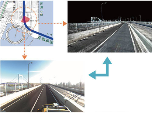
Display of 360-degree movie and 3D point group data
D point cloud data has accurate 3D coordinate (X, Y, Z) for all points, allowing a distance measurement between any 2 points at your fingertips. This eliminates the need for traffic restriction at intersection which was previously necessary for measurement, a separation distance from railway facility and track closure which was necessary for checking clearance.
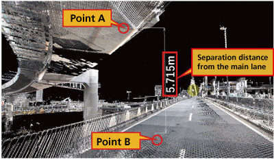
Dimension measurement between 2 points by point group data
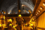
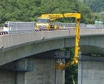
3D point group data is obtained by Mobile Mapping System (MMS) equipped with laser scanner and cameras. For underneath the elevated road/track and side strips where MMS is not accessible, a fixed-type laser scanner is used for measurement.
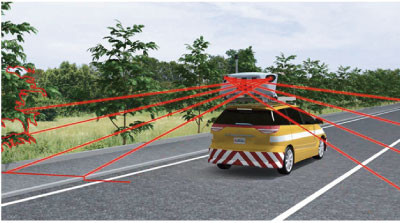
Measurement by MMS