![]()


ここから本文です。
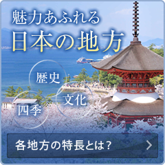
三池港(関東エリア/東京都)
![]()
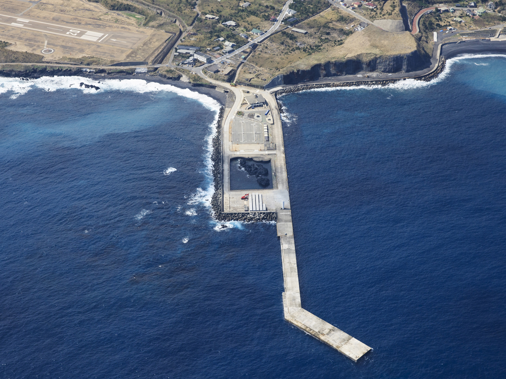
本港は、三宅島の東部に位置し、大型定期船等が接岸する岸壁の他に、岸壁背後の岩礁「クラマ根」を保存・活用した環境施設が整備されています。
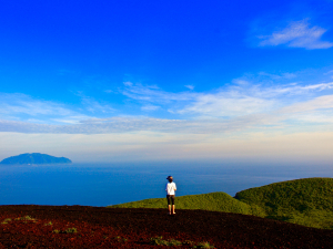
三宅島は、東京の南方海上約180kmに位置するほぼ円形の島です。玄武岩を主体に形成され、島の中央にある複式火山の雄山が海岸線まで美しい裾野を広げていますが、海岸はほとんど断崖で湾入部はありません。頂上及び山腹に多数の火山があり、応徳2年(1085年)以降、平成12年までの間に記録にあるものだけで15回の噴火を繰り返しています。
周辺の観光情報
![]()


港湾情報
外部サイトの地図へリンクします。地図の拡大縮小で港の周辺情報をご覧いただけます。
| 所在地 | 〒100-1211 東京都三宅村坪田1260 | |
|---|---|---|
| 最寄りの主要空港 | 三宅島空港(徒歩で20分) | |
| 最寄りの主要バス停 | 沖ヶ平(徒歩で10分) | |
| 係留バース | 三池港ふ頭 | |
| サービス | 旅客ターミナル | |
| 観光案内所 | ||
| 港湾管理者 | 東京都港湾局離島港湾部 | |
| 電話番号 | 03-5320-5652 | |
| メールアドレス | 0000527@section.metro.tokyo.jp | |
| 関連サイト | 離島情報 > 三宅島(外部サイトへリンク) |

![]()
PDF形式のファイルをご覧いただく場合には、Adobe Readerが必要です。Adobe Readerをお持ちでない方は、バナーのリンク先から無料ダウンロードしてください。
![]()
![]()
![]()
![]()

![]()